An Áras Mháirtín Uí Chadhain (the Martin O’Kyne Center) is located in the village of An Cheathrú Rua on the western coast of Contae na nGaillimhe (County Galway). The name was Anglicized to Carraroe during the time the British Empire ruled Ireland.
There are various stories as to what the Irish name An Cheathrú Rua actually signifies and how it came to be. The word ceathrú means “quarter” and is used in the same way the English word is used, as in ceathrú tar eis a hocht (“quarter after eight” o’clock) or an cheathrú Laidineach (“the Latin quarter”). It is in this latter sense that it is used to name this area.
The debate and the differing stories enter the picture when one considers the word rua. In one sense the word can be translated as “red” or “russet”, most commonly when referring to hair color. With that information you might think that perhaps this is an area populated by large numbers of red-heads, but that is not the case nor is that one of the stories about the area’s name. Rather, the argument is made that the color of the soil on this peninsula (for that is what An Cheathrú Rua is) is a particular auburn color, like that of red hair. Another story dependent on this meaning of rua is that it refers to the blood spilled when a man was killed several centuries ago in a fight outside a public house (one which still exists today).
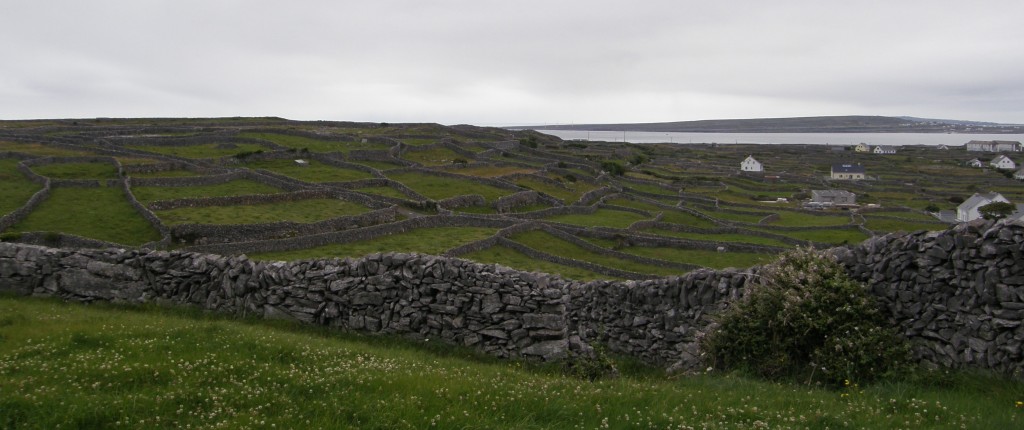
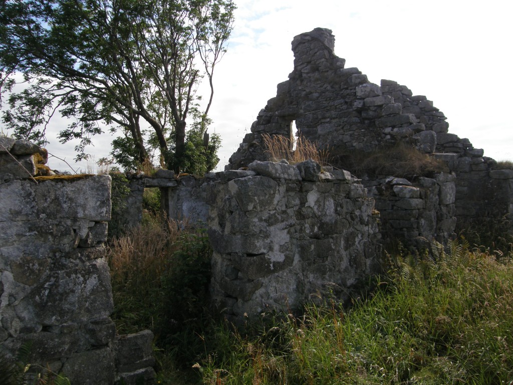
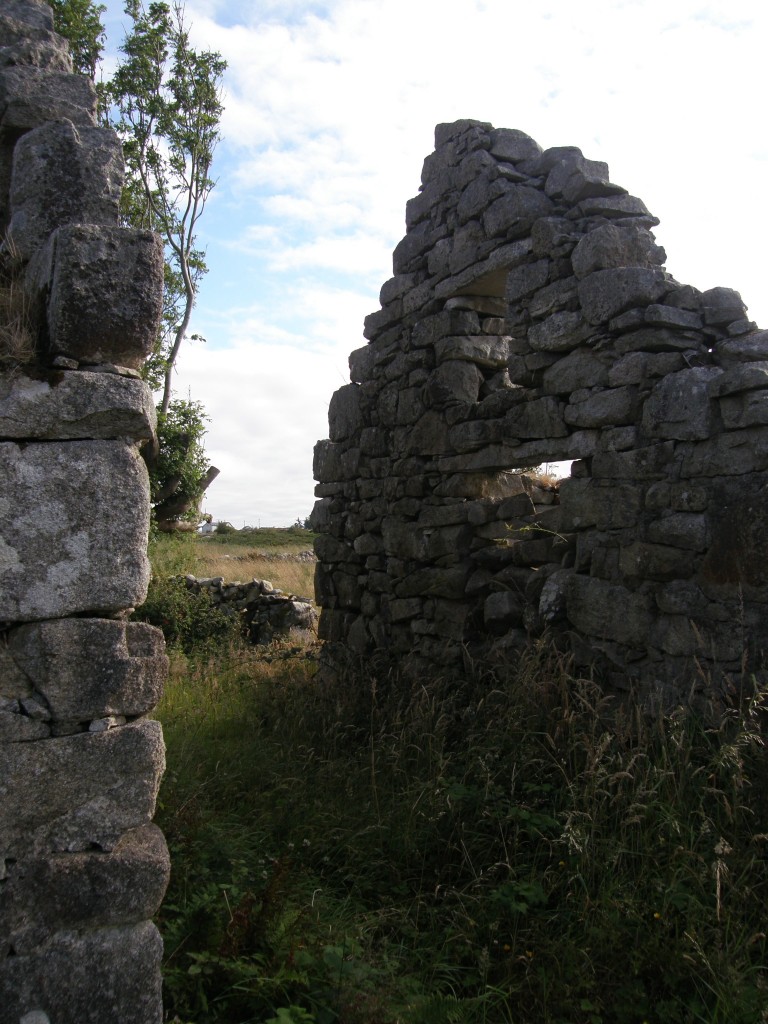
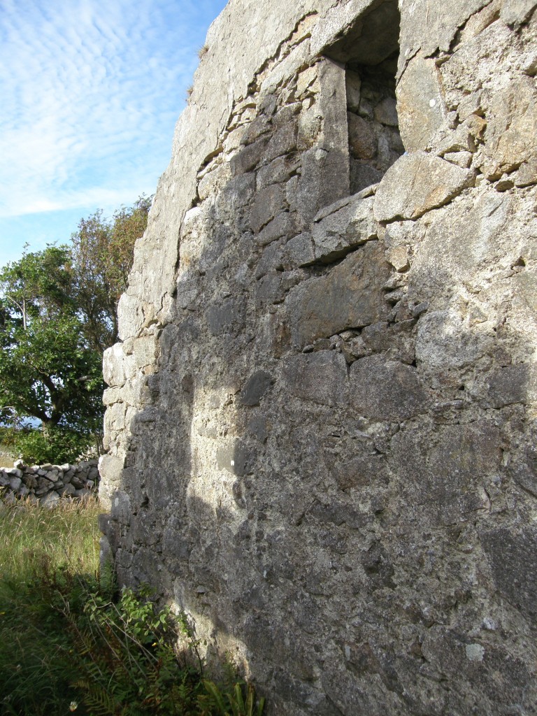
The etymology favored by most people is based on an alternative meaning of rua: wild, fierce, or rough. The terrain of An Cheathrú Rua is very rough! Like much of this part of Ireland, the ground is rocky and uneven. Granite stones, which are plentiful and readily available, are the preferred building material for homes, other buildings, and the fencing of fields; stones cleared from the small, uneven fields have been used for centuries to wall in those same fields. (One finds this all over the northern half of this island nation and on the offshore islands; I have included in this post a picture from Inis Oírr, one of the Arann Islands, which shows many rock-walled fields terracing the island’s hillside. More about Inis Oírr in a later post.)I take a daily walk along some of the winding roads through these rocky fields. (All the road here are winding and narrow; there’s no such thing as a straight road in Ireland!) Along any of these paths, I pass the tumble-down ruins of old stone cottages. These are referred to as “famine houses” for many (if not all) of them date from about 165 years ago, the time of the potato blight and the Irish Famine. Two Irish terms are used to name that time in the country’s history: An Droch-Shaol (meaning “The Bad Life”) and An Gorta Mhór (“The Great Hunger”). As people left the rural areas seeking food in the cities or to emigrate to America, Australia, or other places, they simply packed up and left their homes which, over time, deteriorated and partially collapsed; many of these refugees were evicted from their homes by landlords who were responsible for paying a yearly £4 per person tax on their tenants and who, without those tenants producing income, were unwilling to do so. But the Irish people build their stone homes well, and granite and mortar take time to erode, so the walls of many of these now-ancient structures still stand and those who live amongst them, out of respect for the dead, are loath to tear them down.
And so these stark reminders of the past are with us everyday. As I walk amongst the homes of the living and the dead, I am also greeted by flowers of all sorts. Though this is a rough countryside difficult to farm, it is lushly overgrown both with the gardens planted by the residents and, along the roads and in the fields, many sorts of wildflowers. Like the Arann Islands a few miles out in the Atlantic and the Burren of County Clare to the south, the climate, the winds, and the sea currents have conspired to bring to this area a variety of plants not usually found growing together. (This is especially true in County Clare where one finds tropical and arctic varieties growing side by side.) I thought I would share with you some of the flowers I see each day.



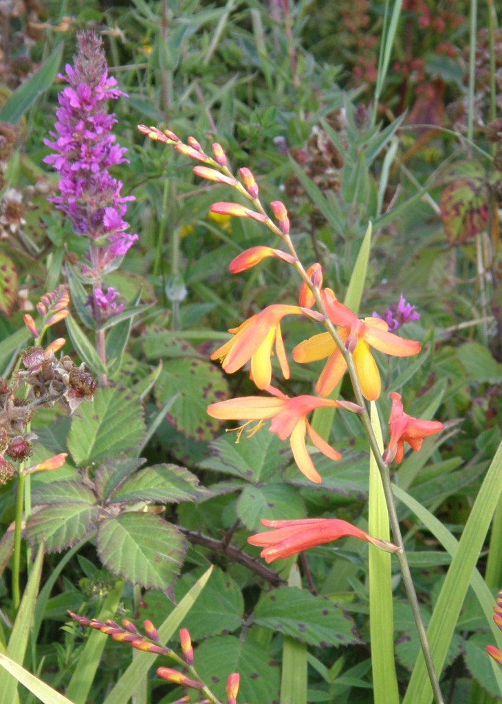

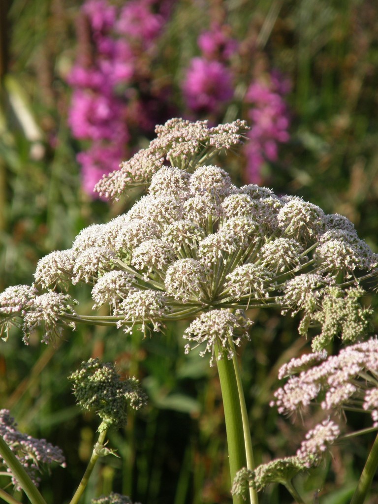
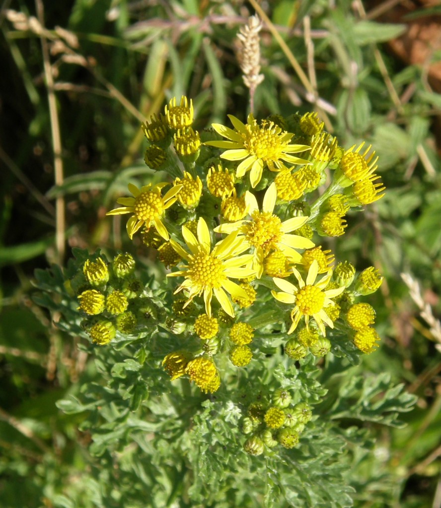


wonderful flower photos. Fond memories of buttercups. How tall is/was the Wild Angelica? Looks to be quite similar to Queen Ann’s Lace and that family.
Thanks all …. good to know someone is following things. I’ve some pictures of the bog that I’ll be posting tomorrow.
What an amazing landscape with the very small portions blocked off by rock-piled walls! Your photographs are a wonderful pairing with your meditative words.
The carefully sectioned piled-rock walls and ‘ruins’ of sturdy homes are stunning ‘illustrations’ to your words today